Low-Heat March
Context: The month of March in Mumbai was relatively cooler and drier than normal. Winds in March usually tend to flow from West Asia to Mumbai, signalling the beginning of a sweltering heat and humidity build-up through May, before the rains arrive in June.
Why was this March cooler and drier?
- A study reported that West Asia has been warming more rapidly than other tropical land regions.
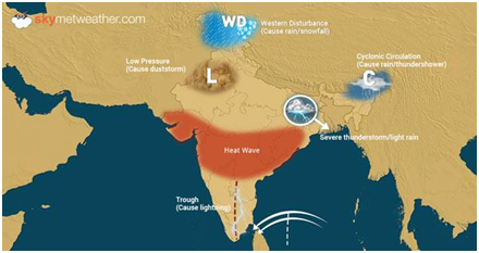
- The northern Arabian Sea has also been warming. The combination of this land and ocean warming has enhanced the duration, frequency, and intensity of heat waves over India in the pre-monsoon season.
- Meteorologists have also blamed the northern Arabian-Sea warming for the increase in heavy rainfall events over northwest India in the monsoon season.
- Rapid warming over West Asia produces low sea-level pressure locally, which sets up a northward pressure gradient over the Arabian Sea — from the equator to its northern waters.
- This gradient pulls winds northward, disrupting those that should actually be flowing east, from West Asia towards Mumba
- So the winds came to Mumbai from the north-northwest, bringing cooler and drier air instead of the usual hot and humid air from the desert.
Will this affect monsoons ?
- These wind changes created an unusual anticyclone over the Arabian Sea in March. An anticyclone has clockwise ocean circulation in which warm waters converge.
- As a result, sea surface temperatures warmed by over 1º C just during March. A warmer Arabian Sea in the pre-monsoon season tends to favour a good monsoon.
- On the other hand, 2023 is expected to be an El Niño year, and an El Niño tends to suppress the monsoon, especially when it follows a La Niña winter, which was the case in 2022.
- But before the monsoon, we still need to get through the summer heatwave season. As seasonal land-heating continues into April and May, the southwesterly winds will set out from the equator into the central Arabian Sea.
- The normal eastward winds from West Asia towards Mumbai should also get stronger.
- These westerly winds bring heat from West Asia, over the warm Arabian Sea, into India. Winds also sweep in from the northwest over the mountains of Afghanistan and Pakistan, setting up heat waves.
- The evolution of winds and sea surface temperatures clearly show a rapid warming of the North Indian Ocean, especially the Arabian Sea, which augurs even more heat events.
Consequences
- Reports of unseasonal rain and hail leading to devastating crop damages in the northwest are a preview of what may be in store in terms of heat waves and heavy rain over these parts.
- Since only about 50% of El Niño years have so far produced a drought over India, we may end up with a ‘normal’ monsoon. But it is quite likely that warming over West Asia plus the Arabian Sea is going to once again produce heavy rainfall events over northwest India and Pakistan.
- While Mumbaikars are basking in the unseasonably cool and dry weather, they can also expect heavy rains and flooding this monsoon. Climate models seem confident that there will be an El Niño starting during the monsoon season.
- The caveat is that an El Niño forecast this early in the year tends to be inhibited by the ‘spring predictability barrier’: that is, tropical weather tends to be noisy in the spring months, making the prediction noisy as well.
| Practice Question
1. Why has West Asia been warming more rapidly than other tropical land regions?
|