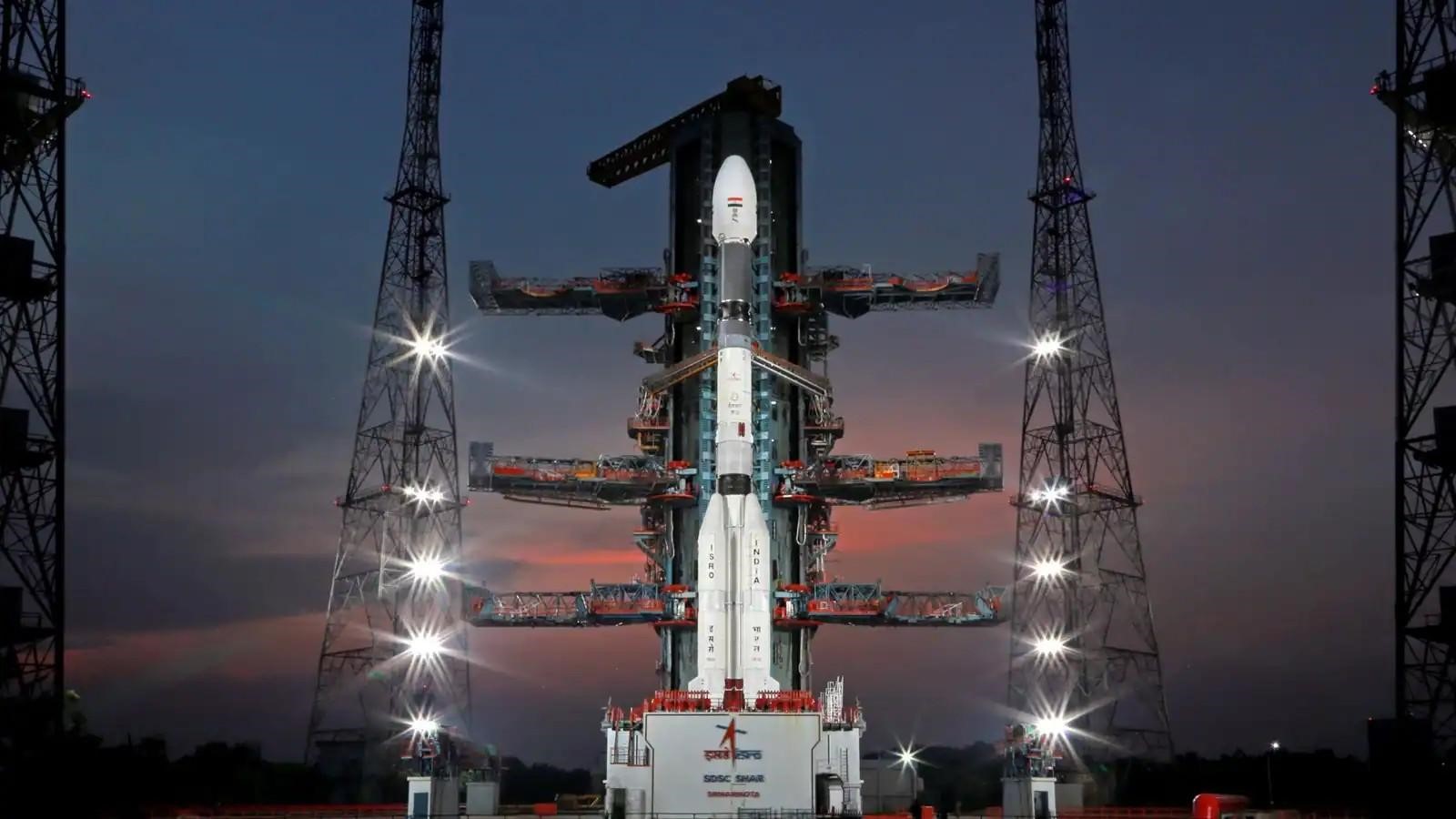
ISRO’s 100th Launch: NVS-02 Navigation Satellite Highlights
Why in the news?
ISRO is set to launch its 100th mission on January 29, featuring NVS-02, a second-generation navigation satellite equipped with indigenously developed atomic clocks and L1 frequency, enhancing India’s NavIC system for accurate positioning and navigation services.
Key Details of the Launch:
- Date & Time: Scheduled for January 29 at 6:23 AM from Sriharikota.
- Vehicle: GSLV-F15 (17th flight of GSLV and 11th using indigenously developed cryogenic engines).
- Payload: The 2,250-kg NVS-02, a second-generation navigation satellite under the Indian Regional Navigation Satellite System (IRNSS/NaVIC).
- Mission Duration: 19 minutes, injecting the satellite into a 170 x 36,577 km geostationary transfer orbit.
Features of NVS-02 Satellite:
- Second-Generation Satellite: Part of a series of five satellites designed to replace older IRNSS satellites.
- Longevity & Accuracy: 12-year lifespan and equipped with indigenously developed, highly accurate atomic clocks.
- L1 Frequency Utilization: Uses the globally popular L1 frequency (used in the US GPS), enabling improved usage by smaller devices like fitness trackers.
- Previous Launches: NVS-01, the first second-generation satellite, was launched in 2023.
Significance of IRNSS/NaVIC System:
- Coverage: Provides positioning, navigation, and timing services across India and 1,500 km beyond its borders.
- System Details: A seven-satellite constellation launched between 2013 and 2016, with IRNSS-1A as the first.
- Challenges: Replacement satellites were needed before their mission lifespans ended. Issues like the IRNSS-1H mission failure (due to a heat shield malfunction) highlighted operational challenges.
What is NavIC?
- NavIC (Navigation with Indian Constellation): India’s indigenous regional satellite navigation system developed by ISRO.
- Formerly known as the Indian Regional Navigation Satellite System (IRNSS).
- Provides precise positioning, navigation, and timing services across India and nearby regions.
- Interoperable with global navigation systems like GPS, GLONASS, Galileo, and BeiDou, enhancing reliability and utility.
Need for NavIC
- National Security: Ensures independent, secure navigation, reducing reliance on foreign systems during crises.
- Enhanced Regional Navigation: Offers tailored accuracy for South Asia, surpassing global systems’ broader coverage.
- Civilian Use: Supports applications in agriculture, transportation, disaster management, and more.
This milestone underscores ISRO’s strides in enhancing indigenous navigation systems and ensuring global competitiveness.
Sources Referred:
PIB, The Hindu, Indian Express, Hindustan Times


